Your cart is empty
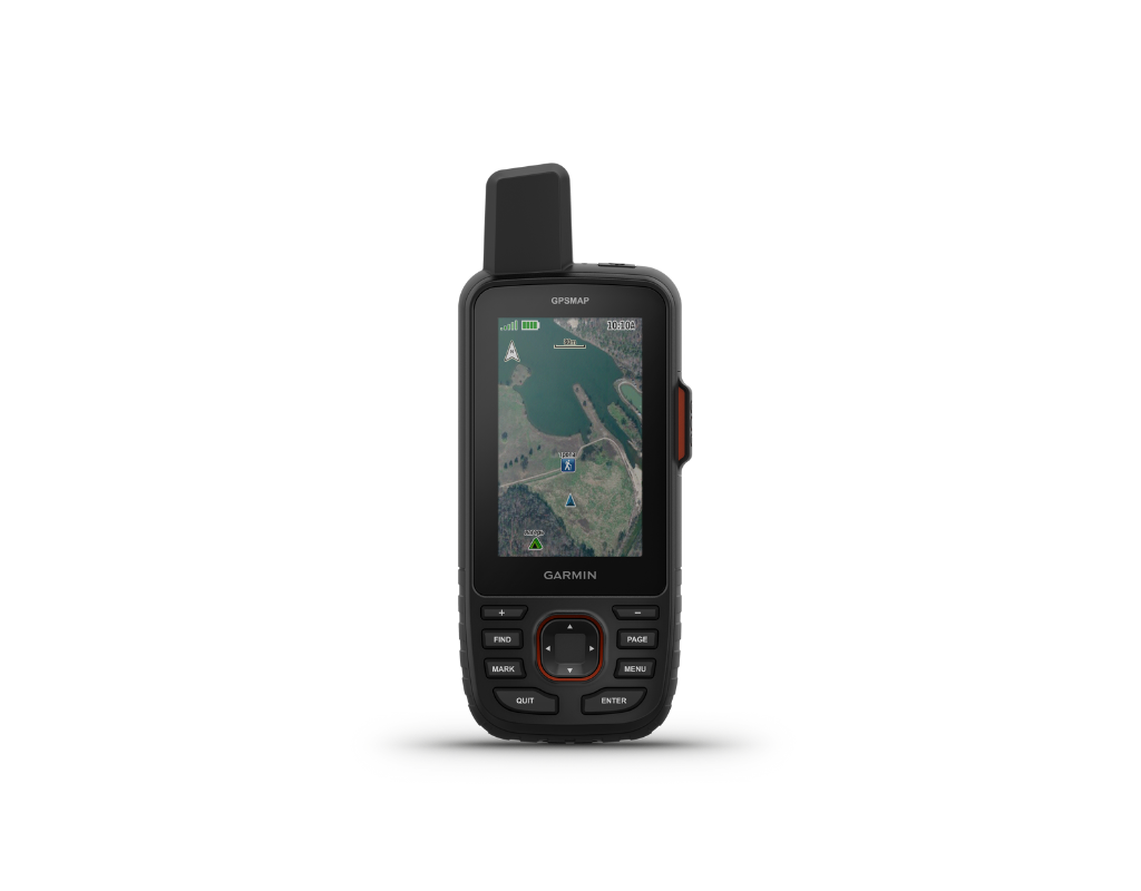

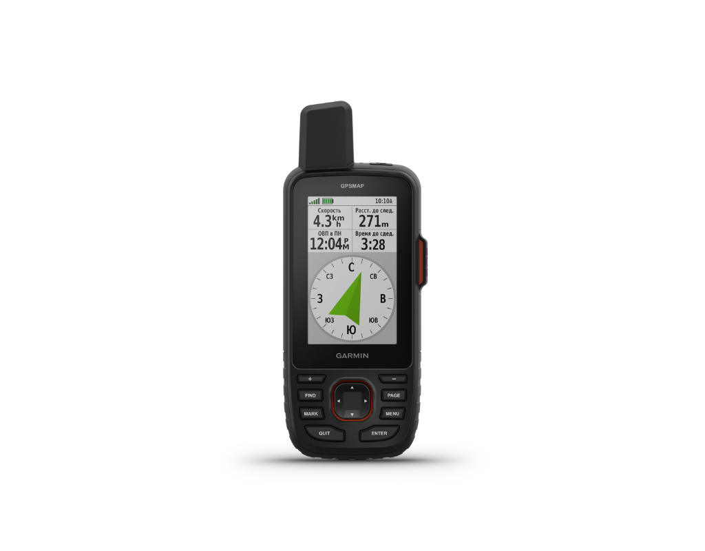


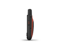
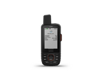
Certified Used Garmin GPSMAP 67i Ex Demo
£440.00(Inc. VAT)
£366.67(Ex. VAT)
£366.67(Ex. VAT)
Garmin GPSMAP 67i - Ex Demo from GTC gives you access to premium technology at a discount.
This product has been extensively tested and is in full working condition. Some cosmetic imperfections or scuffs may be present, and the packaging might be damaged, but performance remains unaffected.
All original kit components are included, plus a 12-month warranty.
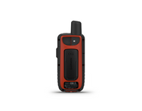
This used Garmin GPSMAP 67i delivers the same advanced navigation and inReach® satellite communication features that make it one of Garmin’s top handhelds for serious outdoor travel. With two-way messaging, location tracking and interactive SOS (active subscription required), it remains a dependable link to home and emergency support when exploring beyond mobile coverage.
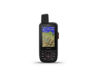
Despite being pre-owned, the 67i retains everything that sets it apart: exceptional battery life, intuitive button-based operation and the durability expected from Garmin’s modern handheld line. Preloaded TopoActive maps and satellite imagery help you navigate confidently, while pairing with your smartphone unlocks active weather updates and Geocaching Live.
Using the Garmin Explore™ app or website, you can plan routes, manage tracks, and download premium content with an Outdoor Maps+ subscription. For extended time in the field, expedition mode provides up to 200 hours of battery life with 30-minute tracking, ideal for multi-day travel where power is limited.
MULTI-BAND GNSS SUPPORT
Access multiple global navigation satellite systems (GPS, GLONASS, Galileo and QZSS). Get access to multiple frequencies sent by navigation satellites for improved position accuracy in areas where GNSS signals are reflected, weak or typically don't penetrate.
ABC SENSORS
Navigate every trail with ABC sensors, including an altimeter for elevation data, barometer to monitor weather and 3-axis electronic compass.
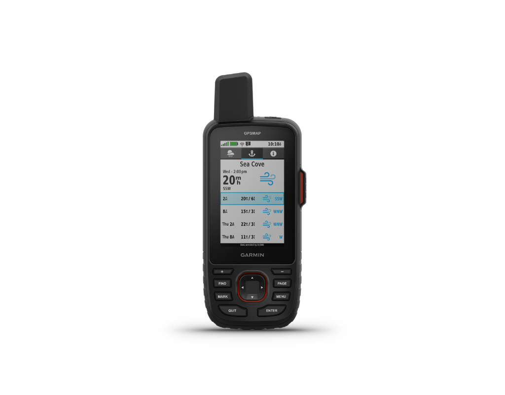
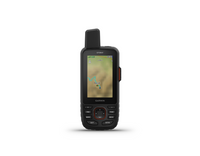
SATELLITE IMAGERY
Download high-resolution photorealistic maps directly to your device via Wi-Fi® technology. Easily find trails, pick stand locations and parking, create waypoints and more.
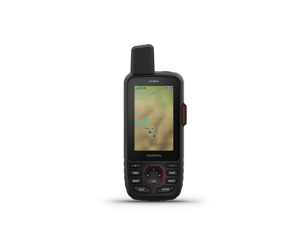
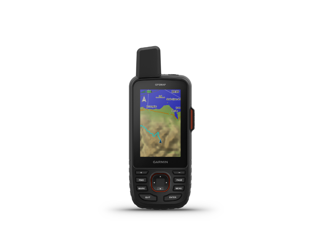
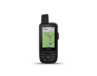
PRELOADED TOPOACTIVE EUROPE MAPS
Preloaded TopoActive Europe maps show you summits, parks, coastlines, rivers, lakes and geographical points.
PREMIUM MAP FEATURES
With an Outdoor Maps+ subscription, you get public land information, landowner names, state plat maps, BLM boundaries and more.
BATTERY LIFE
Turn on expedition mode, and get up to 425 hours of battery life while using inReach technology. In the default tracking mode, you get up to 165 hours of battery life, and your device will save your location every 10 minutes.
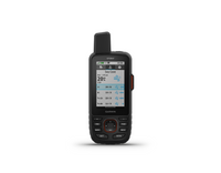
TWO-WAY MESSAGING
Exchange text messages with loved ones, post to social media, or communicate from inReach to inReach in the field.
INTERACTIVE SOS ALERTS
In case of emergency, trigger an interactive SOS message to the Garmin ResponseSM centre, a 24/7-staffed professional emergency response coordination centre.
LOCATION SHARING
Track your location and share it with those at home or out in the field. They'll be able to see your progress or ping your device for your GPS location and more.
Make your outdoor journeys more enjoyable and safer with the Garmin GPSMAP 67i by your side.
FAQs
What is Garmin inReach?
Garmin inReach is a satellite communication device that allows users to send and receive messages, share their location, and trigger an SOS in case of emergency, even when outside of mobile coverage.
Do I need a subscription to use Garmin inReach?
Yes, a subscription is required for Garmin inReach devices to access satellite communication features, including messaging, SOS, and tracking.
Can I pause or suspend my inReach plan?
Garmin inReach plans can be suspended for just £4.99 per month.
What is included in the Garmin inReach subscription?
Depending on the plan, features include:
- Two-way text messaging via the Iridium satellite network
- Location tracking and sharing
- SOS emergency response (via GEOS)
- Weather forecasts
- Basic or unlimited preset messages
- Voice notes and images (on inReach Messenger Plus only)
How do preset messages work, and are they unlimited?
Preset messages are pre-written messages you can send to specified contacts. Many plans allow unlimited preset messages but may limit custom two-way messaging.
How does the SOS feature work?
Pressing the SOS button will trigger an emergency response through the International Emergency Response Coordination Center (IERCC), which contacts local rescue services and provides two-way messaging.
Can I change the tracking interval on the device?
Yes, this can be updated on the device and the intervals available depend on the plan you are active on. Please note on some plans, the more track points you send, overage charges may apply.
What happens if I exceed my message or tracking limit?
Additional messages beyond the plan’s limit may incur extra charges.
Some plans have unlimited tracking and messages, while others have limits.
Some plans have unlimited tracking and messages, while others have limits.
Can I use inReach outside my home country?
Yes! Garmin inReach works globally via the Iridium satellite network, but messaging costs remain the same regardless of location.
Does inReach work without a mobile signal?
Yes! Garmin inReach devices use satellite communication, making them fully functional in remote locations with no mobile signal.
Can I use inReach to call instead of text?
No, Garmin inReach does not support voice calls. It only allows text messaging and emergency SOS. However, the Garmin inReach Messenger Plus allows users to send and receive voice notes over satellite.
Does Garmin inReach require a separate SIM card?
No, inReach uses an internal satellite modem that works with Garmin's subscription plan. No SIM card is needed.
Are there any restrictions on where an inReach can be used?
Yes, we always advise to check with a country's embassy before travelling. You will not be allowed to travel into countries such as India, Cuba, North Korea and Burma amongst others with an inReach.
